




De GPSMAP 7410 kaartplotter is ontworpen for schippers die bedieningsgemak and functionele integratie eisen. De interne 10 Hz GPS die de positie and de koers 10 keer per seconde bijwerkt. Including volledige netwerkfunctionaliteit, waaronder the Garmin Network NMEA 0183 and NMEA 2000, and alle voordelen from ingebouwde WiFi connectiviteit. Hij heeft ondersteuning for GSD™ premium echolood and GCV™ scanning echolood-modules. To de speciale zeilfuncties behoren leylijnen, verbeterde windroos, koers- and koers-over-de-grondlijnen, gegevensvelden for ware windsnelheid and ware windhoek, and a schuifregelaar for getijden, stromingen and tijd.
Dankzij volledige netwerkfunctionaliteit kunt u meer mogelijkheden aan your boat toevoegen. This GPSMAP biedt ondersteuning for radar, stuurautomaat, instrumenten, meerdere schermen, FUSION-Link, sensors, externe echoloodmodules, digitaal schakelen, thermische camera's, GRID with draaibare knop, joystick and toetsenblok, and meer.
Fast, responsieve 10 Hz GPS/GLONASS vernieuwd your positie and koers 10 keer per seconde om your beweging vloeiender weer te geven op the scherm. U kunt fast and easy to wel 5000 nauwkeurige waypoints plaatsen, and this weer terugvinden..
Verbeterde Auto Guidance, u hoeft alleen maar de locatie in te voeren waar u heen wilt and de gepatenteerde Auto Guidance technologie from Garmin doorzoekt direct de relevante kaarten om a veilige virtuele route uit te zetten and weer te geven die lage bruggen, ondiep water and andere op de kaart vermelde obstakels onderweg vermijdt.
Eenvoudiger SOS-oproepen, With this exclusieve SOS-veiligheidsfunctie kan iedereen, zelfs personen die niet vertrouwd zijn with maritieme elektronica or radioprotocollen, fast de kustwacht om hulp vragen in noodgevallen. U hoeft alleen maar op de SOS-knop op the aanraakscherm from de kaartplotter te tikken. De op the netwerk aangesloten Garmin VHF marine radio stemt dan automatisch af op de noodfrequentie from kanaal 16 and er wordt a lijst with mogelijke situaties weergegeven (brand, man overboord, enz.).
GPX-overdracht from waypoints, als u waypoints, tracks or vaak gebruikte routes hebt opgeslagen op a GPS-product from a andere fabrikant or op a handheld from Garmin, kunt u this items nu heel easy via de standaard GPX-bestandsindeling overbrengen naar your nieuwe Garmin kaartplotter.
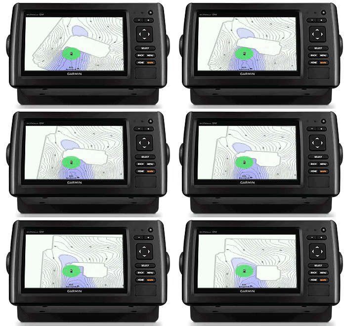
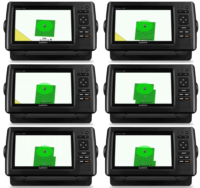
Maak your eigen HD-kaarten, Quickdraw Contours is a gratis, gebruiksvriendelijke softwarefunctie die vooraf op your Garmin toestel is geïnstalleerd. Hiermee kunt u direct your eigen gepersonaliseerde HD-viskaarten maken with op 1 voet nauwkeurige contouren. Pas de kaarten aan your eigen behoeften aan. The zijn your kaarten. Your eigendom. Bewaar de gegevens for eigen gebruik or deel ze with de Quickdraw community op Garmin Connect™.
Speciale zeilfuncties, om optimaal te profiteren from de wind, ziet u a nieuwe pagina with pre-race informatie waarop your virtuele startlijn op de kaart wordt getoond. U ziet also gegevensvelden die leylijnen tonen, your burn-tijd for de start, and a racetimer die kan worden gesynchroniseerd with alle Garmin GPS-producten in your netwerk.
Eén Panoptix Forward transducer biedt twee indrukwekkende weergaven, zelfs terwijl your boat stilligt. U ziet in real-time de bodem plus vissen and aasvissen die in de waterkolom vóór your boat zwemmen. U kunt zelfs your eigen aas zien terwijl u your vislijn binnenhaalt. And u kunt also 3D-beelden krijgen from vissen and structuren vóór your boat.
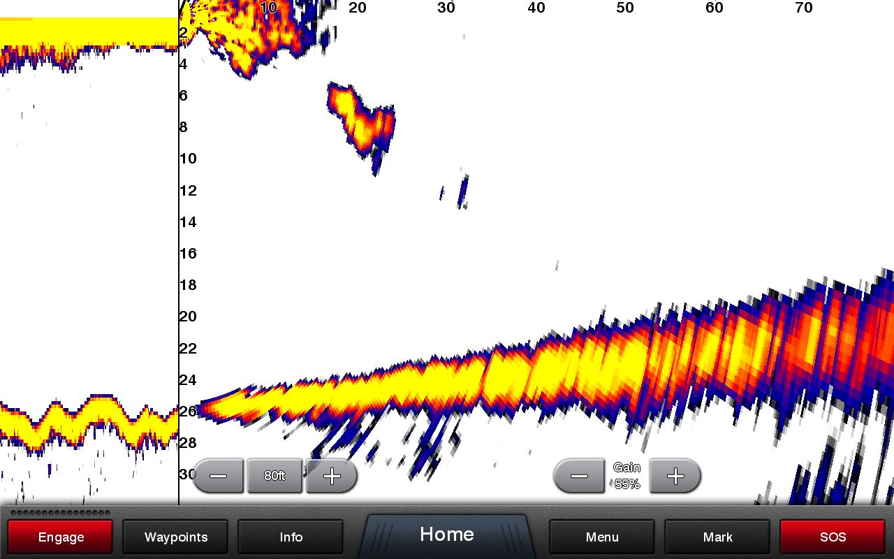
LIVEVÜ FORWARD
With a enkele ping-opdracht wordt the beeld bijgewerkt and kunt u via real-time bewegende beelden zien wat zich in the water afspeelt. In this scherm ziet u a groot doel (a duiker) afzwemmen op de boat.
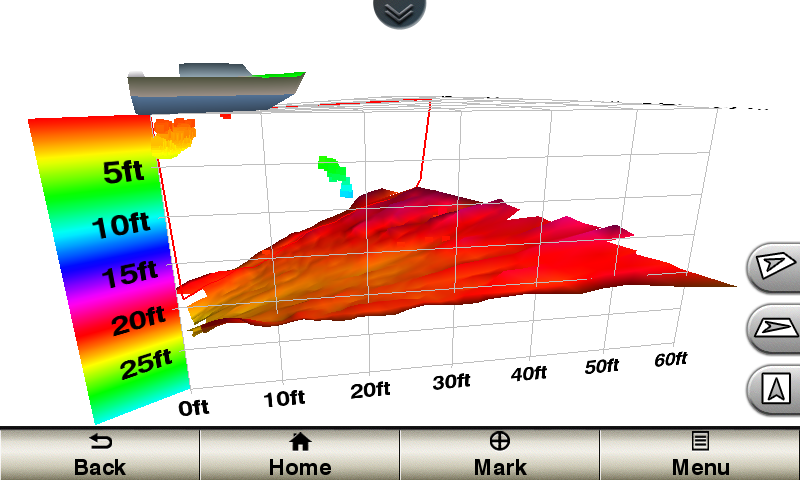
REALVÜ 3D FORWARD
Scant the gebied vóór de boat digitaal and levert 3D-beelden from de bodem, structuren and vissen in the gebied vóór de boat. Op this scherm ziet u vislocaties op 3 m (10 ft.) and a tekening from de bodemdiepte op 6,1 m (20 ft).


