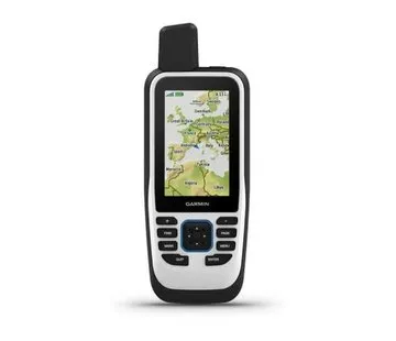
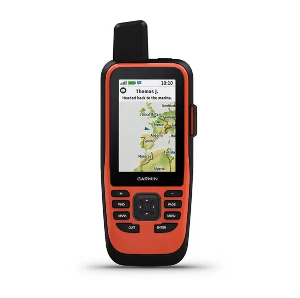


Garmin GPSMAP 86i watersport-GPS with ingebouwde Inreach. Voorzien from wireless connectiviteit for a virtuele uitbreiding from your watersportsysteem on board, for extra inzicht and comfort. Synchroniseer GPSMAP 86s with your compatibele Garmin kaartplotters and instrumenten, and u ziet bootgegevens direct in realtime op your handheldtoestel. This GPS kan fungeren als remote control for je stuurautomaat and geselecteerde FUSION products.
Satellietcommunicatie
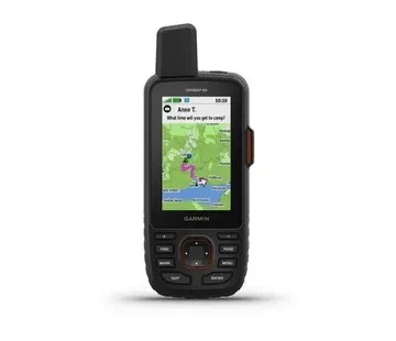
With de ingebouwde inReach satelliettechnologie and extra serviceopties helpt GPSMAP 86i u wereldwijd in contact te blijven. Verzend and ontvang tweewegs tekstberichten, volg and deel your tocht, and activeer indien nodig a interactieve SOS om hulp te krijgen from a fulltime wereldwijde meldkamer via the wereldwijde Iridium satellietnetwerk. U kunt also weersverwachtingen for de scheepvaart direct op your toestel receive, zodat u weloverwogen beslissingen kunt nemen op basis from the weer ter plaatse or op your bestemming.
De GPSMAP 86i is voorzien from a wereldwijde basiskaart. U kunt also BlueChart g3 kustkaarten toevoegen with gedetailleerde contouren from 0.3 meter. Ontvang smartphone meldingen rechtstreeks op your GPSMAP 86i handheldtoestel wanneer u this koppelt with your compatibele smartphone. U kunt GPSMAP 86i also synchroniseren with de Garmin Explore portal for cloudbeheer from your favoriete waypoints, routes and tracks.
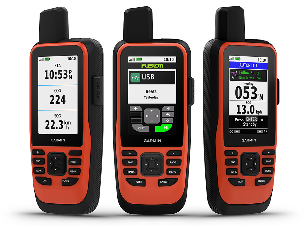
Spoecificaties Garmin GPSMAP 86i:
- BxHxD: 6,75 x 17,8 x 4,4 cm
- Scherm 3,8 x 6,3 cm; 7,6 cm diagonaal (3")
- 240 x 400 pixels
- Transreflectief, 65K TFT-kleurenscherm
- 272 gram
- Maximum 40 uur in 10-minuten trackingmodus; maximum 200 uur (expeditiemodus)
- IPX7
- Compatible with fast USB and NMEA 0183
- Opslag microSD kaart (niet included)
- 10000 waypoints
- 250 routes
- 20.000 punten, 250 opgeslagen GPX-tracks, 300 opgeslagen fitnessactiviteiten
- Barometrische hoogtemeter
- Kompas (with kantelcompensatie, drie assen)
- Automatische routebepaling
- Ondersteunt BlueChart g3 kaarten
Handleiding Garmin GPSMAP 86i.