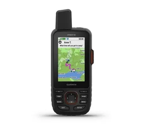

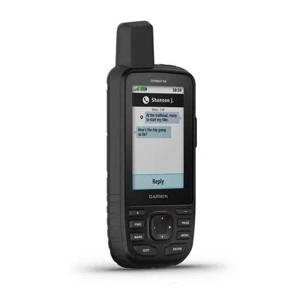
The Garmin GPSMAP 66i is a rugged GPS handheld for outdoor, hiking, expedition, boating and professional use. It combines precise GPS navigation with inReach satellite communication, enabling two-way messaging, location tracking and interactive SOS over the Iridium satellite network. An active satellite subscription is required for inReach functions.
The device features a sunlight-readable 3-inch colour display, an internal rechargeable lithium-ion battery and IPX7 water rating. Garmin lists battery life up to 35 hours in default mode and up to 200 hours in expedition mode. The GPSMAP 66i supports multiple satellite navigation systems, wireless functions and navigation sensors for reliable use beyond mobile network coverage.
Key features
- Rugged GPS handheld with inReach technology
- Two-way messaging via Iridium satellite network
- Interactive SOS function, subscription required
- Tracking and location sharing
- 3-inch sunlight-readable colour display
- For outdoor, hiking, expedition, boating and professional use
- Internal rechargeable lithium-ion battery
- Battery life up to 35 hours in default mode
- Up to 200 hours in expedition mode
- Water-resistant to IPX7
- GPS/GNSS navigation support
- Wireless connectivity via Wi-Fi, Bluetooth and ANT+
Product specifications
- Brand: Garmin
- Model: GPSMAP 66i
- Manufacturer reference: 010-02088-01
- Product type: GPS handheld / satellite communicator
- Communication: inReach via Iridium network
- SOS function: yes, interactive, satellite subscription required
- Messaging: two-way satellite messaging, subscription required
- Display: 3-inch colour display
- Display resolution: 240 x 400 pixels
- Dimensions according to supplier: 6.2 x 16.3 x 3.5 cm
- Weight according to supplier: 230 g
- Battery: internal rechargeable lithium-ion
- Battery life: up to 35 hours default mode
- Expedition mode: up to 200 hours
- Water rating: IPX7
- Memory according to supplier: 16 GB
- Interface: micro-USB
- Connectivity: Wi-Fi, Bluetooth, ANT+
- Sensors: electronic compass and barometric altimeter according to supplier specifications
- Application: outdoor, trekking, hiking, expedition, watersports, backup navigation
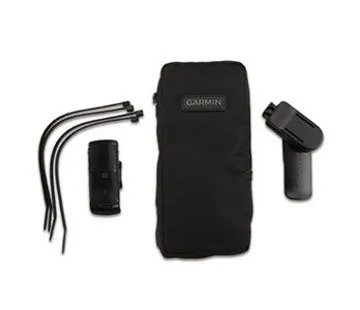
- Not included: active inReach satellite subscription, optional maps or mounting accessories