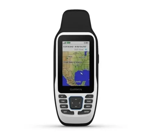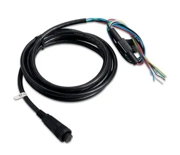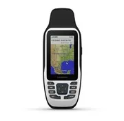


The Garmin GPSMAP 79s is a rugged handheld GPS for boating, watersports, fishing and outdoor navigation. It floats, features a sunlight-readable 3-inch colour display and is designed for use on the water. Garmin supplies the GPSMAP 79s with a worldwide basemap and support for optional BlueChart g3 marine charts.
With its built-in GPS receiver and electronic compass, the GPSMAP 79s is suitable as a navigation aid or backup GPS onboard. The device uses 2 AA batteries and provides up to 19 hours of battery life. Garmin lists IPX6 and IPX7 water ratings for the GPSMAP 79s/sc series.
Key features
- Floating handheld GPS for marine use
- Preloaded worldwide basemap
- Supports optional BlueChart g3 charts
- 3-inch colour display
- Sunlight-readable screen
- Built-in electronic compass
- Suitable as backup GPS onboard
- Battery life up to 19 hours
- Runs on 2 AA batteries
- Water-resistant to IPX6/IPX7
- USB connection
- NMEA 0183 support according to supplier information
Product specifications
- Brand: Garmin
- Model: GPSMAP 79s
- Manufacturer reference: 010-02635-00
- Product type: handheld marine GPS
- Map: worldwide basemap
- Optional charts: BlueChart g3
- Display: 3-inch TFT colour display
- Display resolution: 240 x 400 pixels
- Dimensions: approx. 6.77 x 17.4 x 4.23 cm
- Weight: approx. 282 g with batteries
- Battery type: 2x AA, not included
- Battery life: up to 19 hours
- Water rating: IPX6/IPX7
- Compass: yes, electronic compass
- Altimeter: no according to supplier
- Satellite communication: no
- Connectivity according to supplier: USB, NMEA 0183
- Application: boating, marine navigation, fishing, outdoor, backup navigation
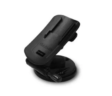
- Not included: AA batteries, optional BlueChart g3 charts, mounting accessories