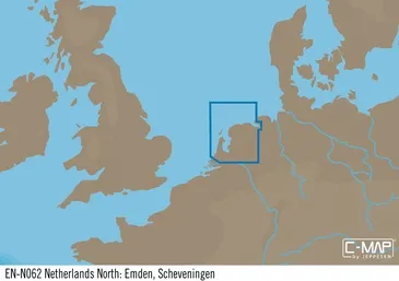
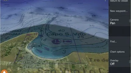
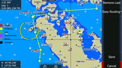

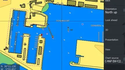
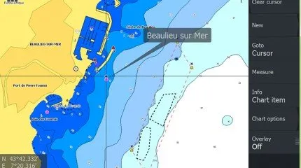

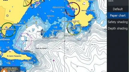
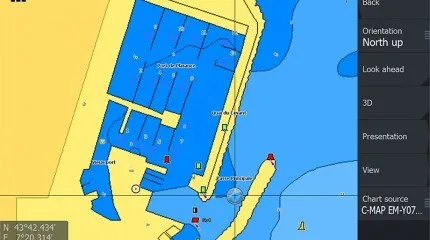

The C-MAP M-EN-M062-MS is an electronic navigation chart for the northern part of the Netherlands and the Emden-Scheveningen cruising area. The chart is supplied on SD/microSD and is intended for compatible chartplotters that support C-MAP MAX cartography.
C-MAP charts are designed for navigation at sea, in coastal waters and, depending on the selected coverage, inland waterways. This version is suitable for recreational and professional users who need detailed chart data for routes along the Dutch coast and German border area. C-MAP describes its marine charts as chartplotter cartography with detailed navigation and depth information.
Key features
- Electronic C-MAP navigation chart
- Coverage area: Netherlands North: Emden, Scheveningen
- Chart series: MAX
- Chart format: SD/microSD
- Article code: M-EN-M062-MS
- Suitable for compatible C-MAP chartplotters
- For sea, coastal and cruising areas within the listed coverage
- Suitable for navigation, route planning and onboard orientation
- Suitable for sailing boats, motorboats, sloops and yachts
- Note: always check compatibility with the exact chartplotter brand and model
Product specifications
- Brand: C-MAP
- Article code: M-EN-M062-MS
- Product name: Netherlands North: Emden, Scheveningen – MAX
- Product type: electronic navigation chart
- Chart series: C-MAP MAX
- Media: SD/microSD
- Coverage: North Netherlands, Emden, Scheveningen
- Region: Netherlands / North Sea coastal area / German border region
- Suitable for: compatible chartplotters with C-MAP MAX support
- Use: marine navigation, route planning, coastal cruising and boating
- Not included: chartplotter, card reader, update service or subscription unless separately stated
- Note: verify before use that the chartplotter supports this chart series and card format
- Variants: this item is the M-EN-M062-MS SD/microSD version