
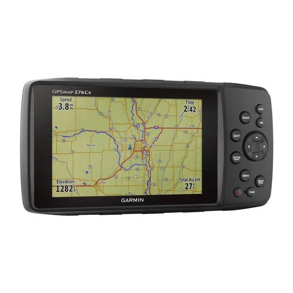



De Garmin GPSMAP 276Cx de ideale keuze for a nauwkeurige navigation, zowel offroad als on the water. Hij heeft a barometrische hoogtemeter and a 3-assig kompas, uitgebreide functies for water sports, buitenactiviteiten and kaartondersteuning. The toestel heeft GPS and GLONASS om your positie beter te kunnen bepalen in a uitdagende omgeving; U kunt a externe GPS-antenne (niet included) toevoegen via de ingebouwde MCX-aansluiting om optimaal satellieten te receive in a voertuig. U kunt the toestel aansluiten op de power supply from your voertuig or boat, the lithium-ionbatterijpak gebruiken (to 17 uur gebruiksduur) or 3 optionele AA-batterijen (to 9 uur gebruiksduur).
For bijna overal waar u naartoe wilt heeft de GPSMAP 276Cx a compatibele kaart die u daar naartoe brengt. The toestel Supplied with a intern memory from 8 GB with daarop a wereldwijde basiskaart, a recreatiekaart from Europa and a gratis 1-jarig abonnement op BirdsEye satellietbeelden.
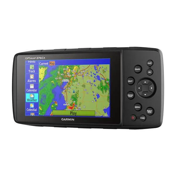
U kunt your Garmin 276Cx with a Bluetooth headset verbinden om gesproken instructies te receive in your helm. And zodra the toestel is verbonden with a smartphone2 kunt u Active Weather3 receive, with a weersvoorspelling and a geanimeerde radarweergave op your kaarscherm, maar also smartphone meldingen zoals e-mail, sms or updates from sociale media or LiveTrack, waarmee u your exacte locatie kunt delen with familie and vrienden. The toestel kan via ANT+ wireless worden verbonden with externe sensors zoals tempe™ for metingen from de externe temperatuur or u kunt the verbinden with Wi-Fi for the receive from updates and databasesynchronisaties.
Specifications Garmin GPSMAP 276Cx:
- Toestelafmetingen, BxHxD 191,5 x 94,5 x 44,0 mm
- Weight 450 g with inbegrepen rechargeable batterijpak; 415 g with AA-batterijen (Not included)
- Waterproof IPX7
- Battery Oplaadbare lithium-ion battery (included) or 3 AA batterijen (niet included); NiMH or Lithium aanbevolen
- Schermtype Helder WVGA-scherm dat goed afleesbaar is in zonlicht
- Schermgrootte, BxH 127,0 mm (5,0 in.) diagonaal
- Schermresolutie, BxH 800 x 480 pixels
- Gebruiksduur battery To 16 uur (lithium-ion); to 8 uur (AA-batterijen)
- Intern memory 8 GB (3.2 GB beschikbaar for use)
Hooggevoelige receiver - Interface compatible with fast USB and NMEA 0183
- Mogelijkheid om kaarten toe te voegen
- Basiskaart
- Aanvaardt datakaarten microSD™ kaart (niet included)
- Waypoints/favorieten/locaties 10
- Routes 250
- Tracklog 20.000 punten, 250 opgeslagen sporen
- Vooraf geïnstalleerde recreatiekaart from Europa and download from BirdsEye satellietbeelden
- Barometrische hoogtemeter
- Elektronisch kompas (kantelcompensatie, 3-assig)
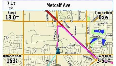
- Automatische routering (afslag-voor-afslag aanwijzingen op wegen)
- Compatible with aangepaste kaarten
- Jacht-/viskalender
- Zon- and maaninformatie