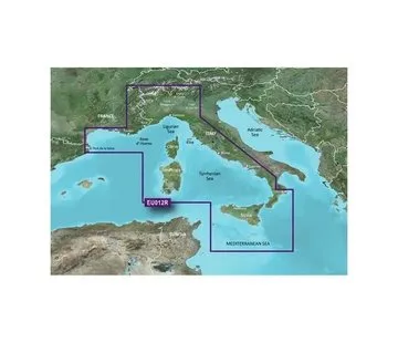


Garmin West-Afrika BlueChart g2 HD kaart.
- Toonaangevende dekking, duidelijkheid and details with bijgewerkte kustdiagrammen
- Including Depth Range Shading for maximum 10 diepte bereiken, zodat u your doeldiepte in één oogopslag kunt bekijken
- To 1 'contouren geven a nauwkeuriger weergave from de bodemstructuur for verbeterde viskaarten
BlueChart Feature Comparison
| Feature | g2 HD | g2 Vision HD |
|---|---|---|
| 1' HD Contours | • | • |
| Depth Range Shading | • | • |
| Shallow Water Shading | • | • |
| Navigational aids, spot soundings, depth contours, tides and currents and detailed harbors and marinas | • | • |
| Auto Guidance | • | |
| 3-D Views (MarinerEye & FishEye) | • | |
| High Resolution Satellite Imagery | • | |
| Aerial Photography | • | |
| Detailed coastal roads up to 5 miles inland | • |